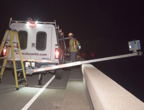
I-10 Twin Span Demolition Survey
Public Works – State
The Challenge
To Be Met
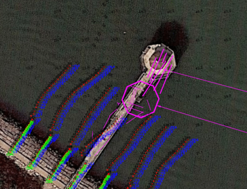
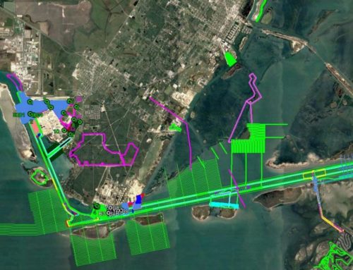
In the aftermath of Hurricane Katrina, The I-10 Twin Spans of Lake Pontchartrain were dislodged off of their supports and were left on the lake floor. The Louisiana Department of Transportation and Development (LADOTD) required hydrographic surveys and structural calculations in order to plan for the removal of bridge spans and overall demolition of the I-10 Twin Span bridges over Lake Pontchartrain.

The Solution
Our Creative Approach
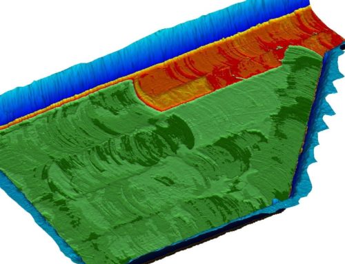
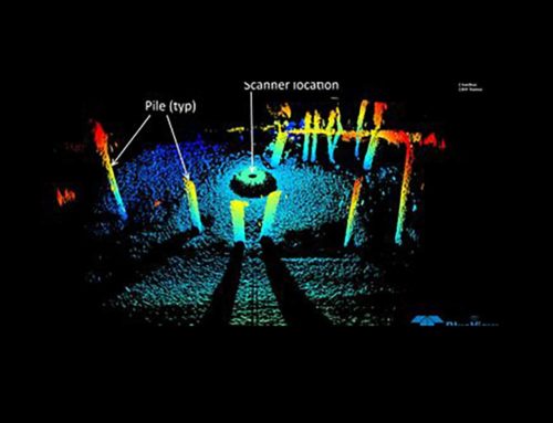
TBS conducted pre- and post-construction bathymetric multi-beam surveys of Lake Pontchartrain to assess seafloor conditions and locations of bridge spans and to determine the depth of an artificial reef site. Studies were required to locate and identify debris, pipelines, and other infrastructure on the bottom of Lake Pontchartrain, including a bathymetric survey of 3,000 feet of existing channel on the North Shore of Lake Pontchartrain, between the lake and the debris offloading location.