LaBranche East Marsh Creation Survey
Federal
The Challenge
To Be Met
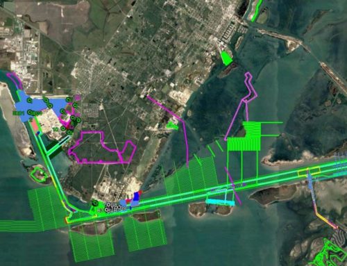
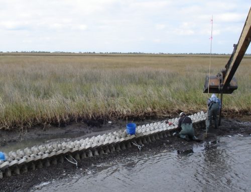
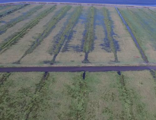
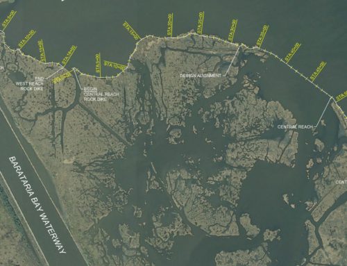
The LaBranche East Marsh Creation Project is an authorized PPL 19 Coastal Wetlands Planning, Protection, and Restoration Act (CWPPRA) Project. The project was co-sponsored by the Natural Resources Conservation Service (NRCS) and the Louisiana Office of Coastal Protection and Restoration (OCPR). The primary objective was to convert an existing 729-acre shallow pond area to a healthy marsh platform by dredging sediment from Lake Pontchartrain. In addition, the project will nourish approximately 202 acres of existing marsh. The marsh creation site is located approximately two miles west of the eastern guide levee of the Bonnet Carre Floodway, between Interstate 10 and Lake Pontchartrain. The proposed borrow site is located in Lake Pontchartrain, approximately 2000’ north of the end of the Eastern Guide levee of the Bonnet Carre Floodway.

The Solution
Our Creative Approach
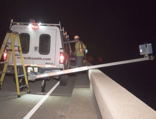
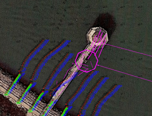
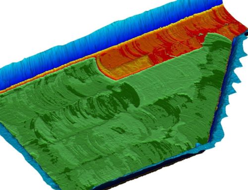
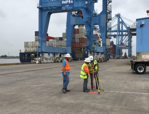
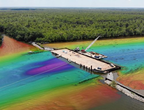
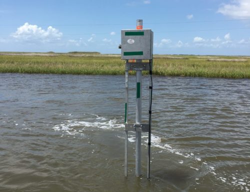
TBS collected field data throughout the project area. This data collection task consisted of topographic surveys of the marsh creation area, and hydrographic / geophysical surveys of the proposed borrow area in Lake Pontchartrain. The shallow water topographic / bathymetric surveys were collected by taking soundings from an Airboat with water levels and positioning referenced to RTK GPS. The bathymetric and geophysical surveys of the offshore borrow area were collected using acoustic echosounders and a proton magnetometer. Additionally, TBS performed a side-scan sonar survey of the borrow area to identify any visible hazards to dredging.