Lafourche Parish Master Drainage Plan
Public Works – Local
The Challenge
To Be Met
Lafourche Parish Government needed assistance in planning future drainage improvements throughout the Parish.
")
The Solution
Our Creative Approach
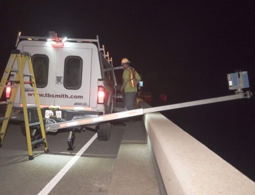
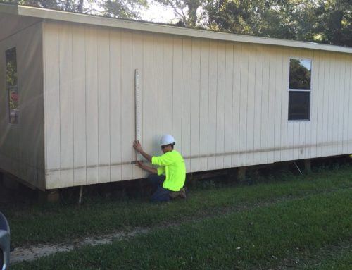
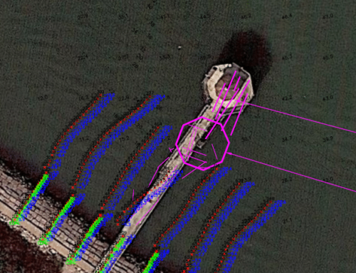
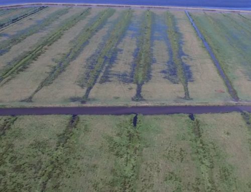
TBS analyzed Parish drainage concerns through public outreach, data gathering, existing and proposed conditions modeling, GIS inventory, and review of existing ordinances for over 40 separate drainage areas (both forced and gravity drainage) with a total of 57 stormwater pump stations.
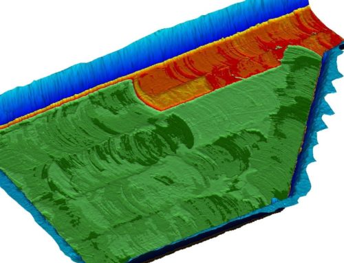
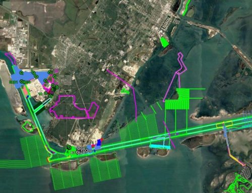
TBS surveyed 181 miles of collection canals to support the modeling effort. Existing and proposed conditions were modeled using the U.S. Army Corps of Engineers (USACE) legacy models HEC-1 and UNET to develop rainfall runoff hydrographs from all subareas and route those hydrographs through each system. Individual maps associated with each system modeled depict aerial photography, water surface profiles and colored LiDAR elevational data. The models developed represent the “backbone” of forced and gravity drainage systems to assist the Parish in planning future drainage improvements.