South Shore of the Pen Marsh Creation Surveys
Federal
The Challenge
To Be Met
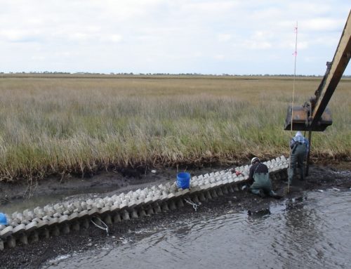
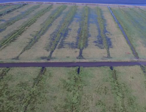
The South Shore of The Pen Protection and Marsh Creation Project is funded through Coastal Wetlands Planning, Protection, and Restoration Act (PL-646). The project is sponsored by the Natural Resources Conservation Service (NRCS), in cooperation with the Louisiana Office of Coastal Protection and Restoration (OCPR). The primary objective of this project is to stop shoreline erosion and to restore and nourish the wetlands south of The Pen. The project included the creation of approximately 11,556 linear feet of rock dike and approximately 75 acres of marsh nourishment. The construction also consisted of approximately 112,400 linear feet of containment dikes and 630,000 cubic yards of dredged fill placement for marsh creation.

The Solution
Our Creative Approach
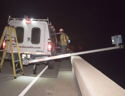
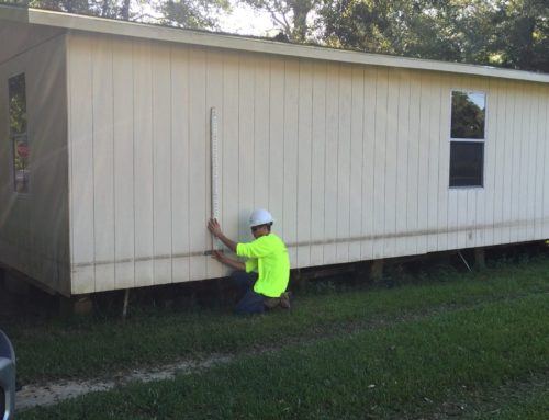
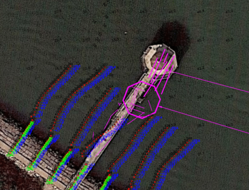
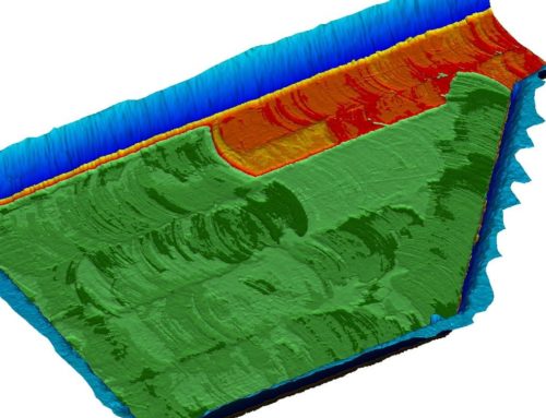
TBS was assigned several construction phase survey tasks over the course of an 18-month period. TBS began work by performing pre-construction surveys of the rock dike alignment, access corridors, Bayou Dupont weir site, and the hydraulic dredge borrow area within the Pen. As project elements were completed, TBS was tasked with performing payment surveys and final as-built surveys of each element. TBS also performed progress payment surveys in the hydraulic dredge borrow area. Payment quantities for dredging were computed using Hypack tin-to-tin volume comparison and also AutoCAD Civil 3-D surface modeling comparison.