Marine Positioning Survey

Marine Positioning

Extensive GIS and AutoCAD Databases at Your Disposal

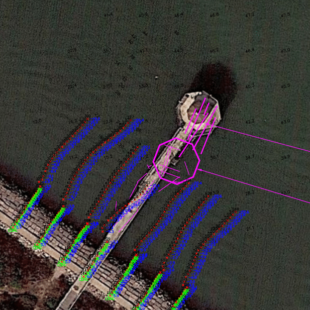
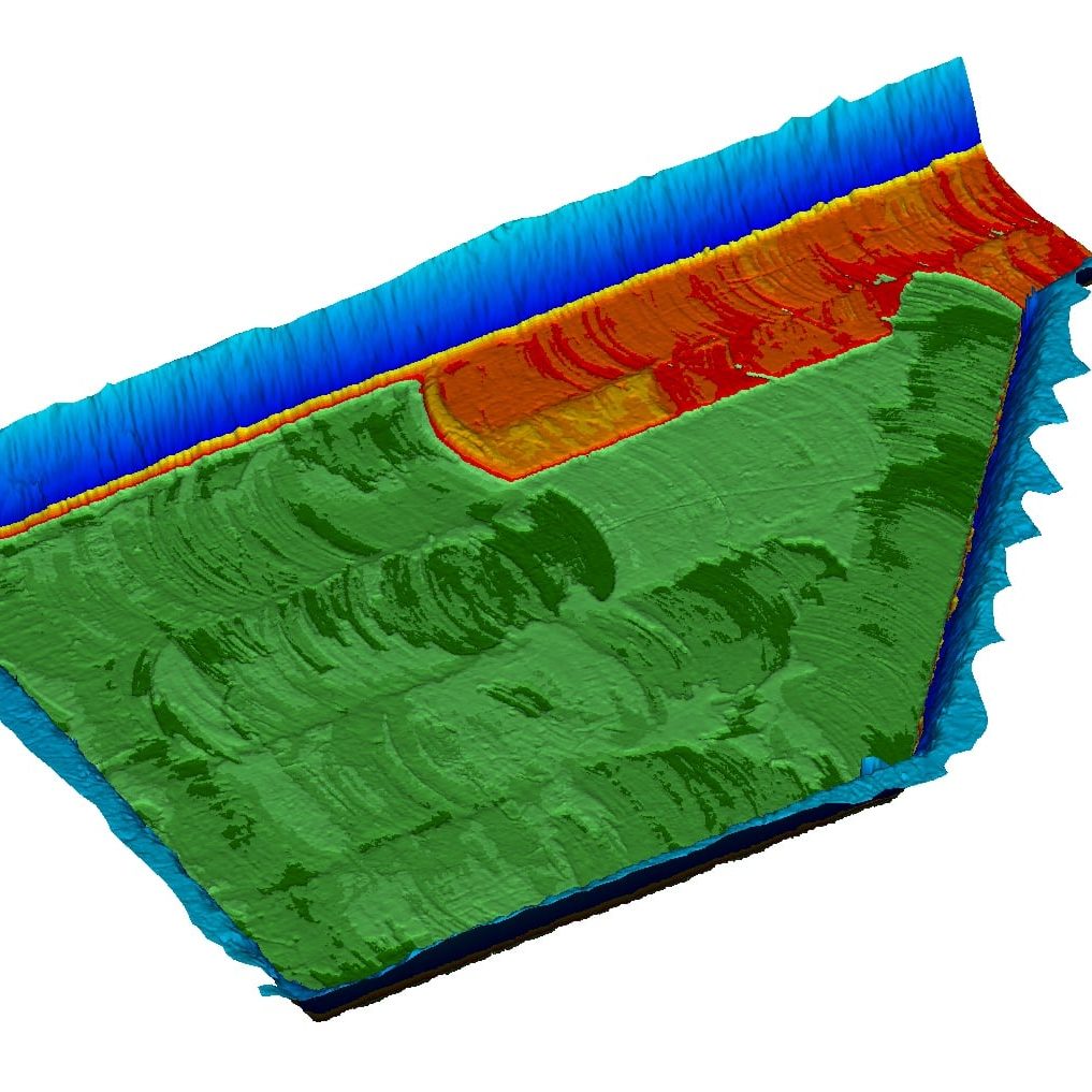
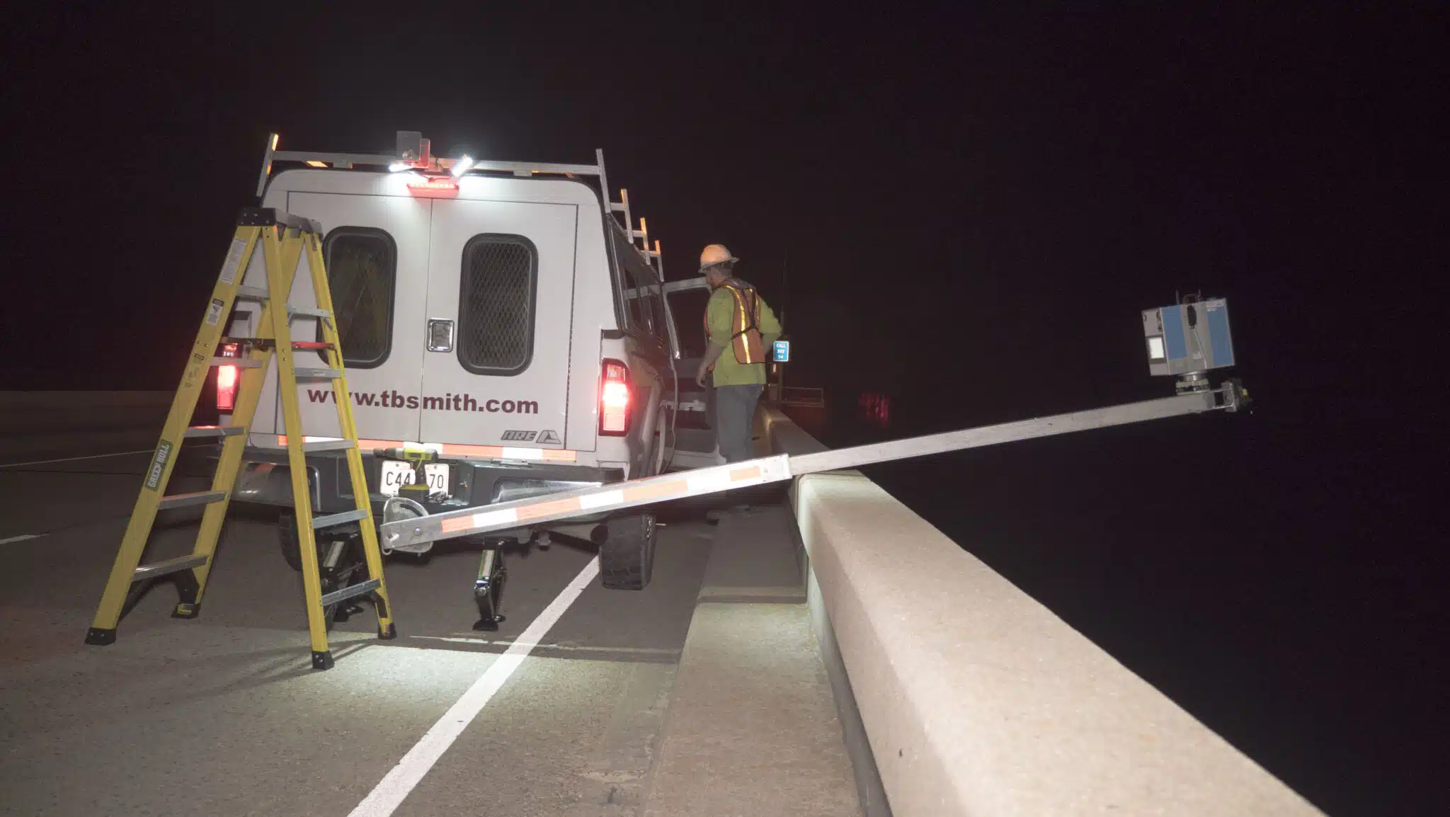
Marine positioning applications are challenging; the ability to position a rig, install a pipeline, or perform cable installation can be compromised by everything from water depth to working in adverse weather conditions. TBS brings to our marine positioning services an extensive GIS and AutoCAD database of onshore, shelf, and offshore wells, pipeline and platform data, and hazard locations.

Man in boat looking at survey results

Our Solutions

Since 2005, we have been involved in post-hurricane abandonment and recovery projects utilizing acoustics and sonar to safely position divers, ROVs, cranes, and subsea tools to provide planning, design, construction management, and operations compliance support to meet our clients’ needs.

  • Underwater Acoustic Positioning
  • ROV & Dive Support
  • DP Vessel Positioning
  • Pipeline and Cable Lay Supports
  • Position Pipeline Tow Outs
  • Structure Positioning
  • Sonar Surveys
  • Multi-beam Surveys
  • Gyrocompass Calibration Surveys
  • DGPS Healthcheck Surveys
  • Surveys using RTK GPS

Surveying Solutions

Find the Solution for You

  • Boundary & Topographic Surveying

    We use the most up-to-date, efficient methods for collecting and staking data points for property and topographic surveys.

  • Asset Integrity & Waterway Inspection

    Our team stays on top of all of the current regulations regarding asset integrity and manageable waterway crossing requirements, allowing us to create fully customized solutions for our clients.

  • Hydrographic & Geophysical Surveying

    Our hydrographic surveying team inspects conditions on the seafloor and investigates any existing obstructions underwater, and is also capable of keeping an eye out for better search, rescue and recovery operations.

  • Unmanned Aerial Systems (UAS)

    This is a relatively new and rapidly evolving technology and surveying process, which involves the use of unmanned drones for safely and rapidly collecting large amounts of information.

  • Marine Positioning

    Our marine positioning services feature an extensive GIS and AutoCAD database of onshore, shelf and offshore wells, pipeline and platform data and hazard locations.

  • Laser Scanning

    Our 3D laser scanning services are the most advanced, efficient method of collecting survey measurements for a wide range of projects.

  • Dimensional Control Survey

    Dimensional control surveying allows our team to provide our clients with real-time, three-dimensional surveying results out in the field. It’s instant surveying information you would not get with many other types of surveying applications.

Project Spotlights

See all of our latest projects in our full project portfolio
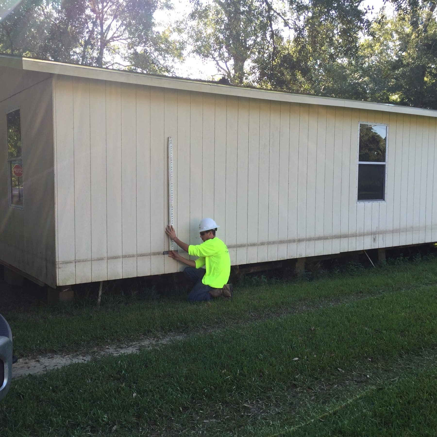
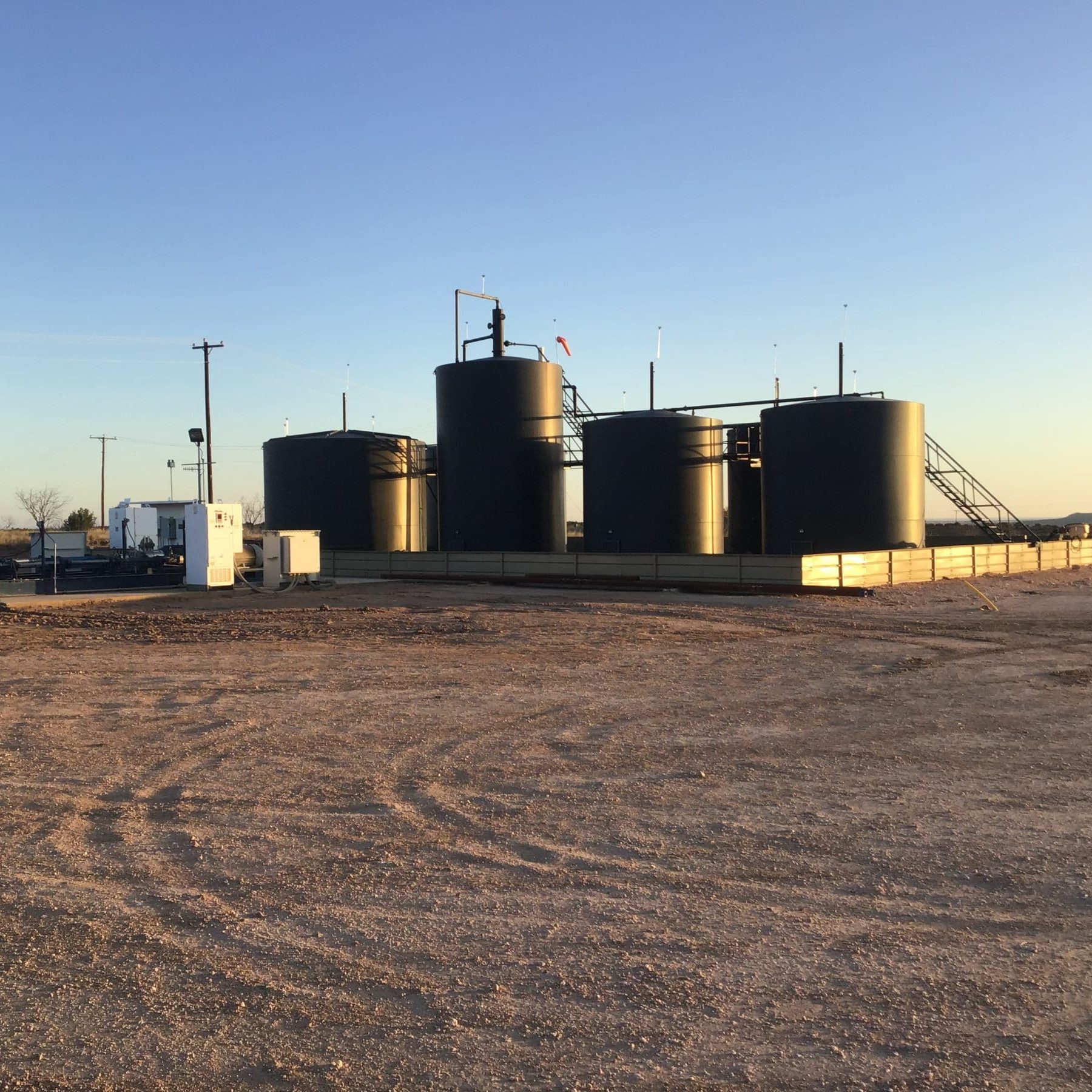
Customer Satisfaction

We let our customers speak for us

“ As a Landman, I have worked on projects with T Baker Smith for many years. I continue to utilize their services because they are professional, trustworthy and assist me, the client, in finding the most efficient resolution for varying types of challenges whether it’s surveying or permitting. ”

Carol M. Sledge, CPL
“ What keeps me coming back to T. Baker Smith is the dedication that Kenny and his team exhibits every day; it is one of the most valuable things to me. I cannot recall one time TBS did not follow through on getting what we asked for. You get what you pay for, and with TBS, we do not have to sit and babysit or redo the work. ”
Craig Guidry

“ We have worked previously with other consultants and find that TBS’ reliability and capability are superior to their competition. They are always available to assist us at Rebecca, Magnolia, Coulon, Acadia, St. Bridget and Evergreen Plantations as well as the Bayou Lafourche Freshwater Reintroduction project, by providing surveying and modeling support. ”

Jacob A. Giardina