Surveying
Surveying
Find the Best Surveying Solutions For You
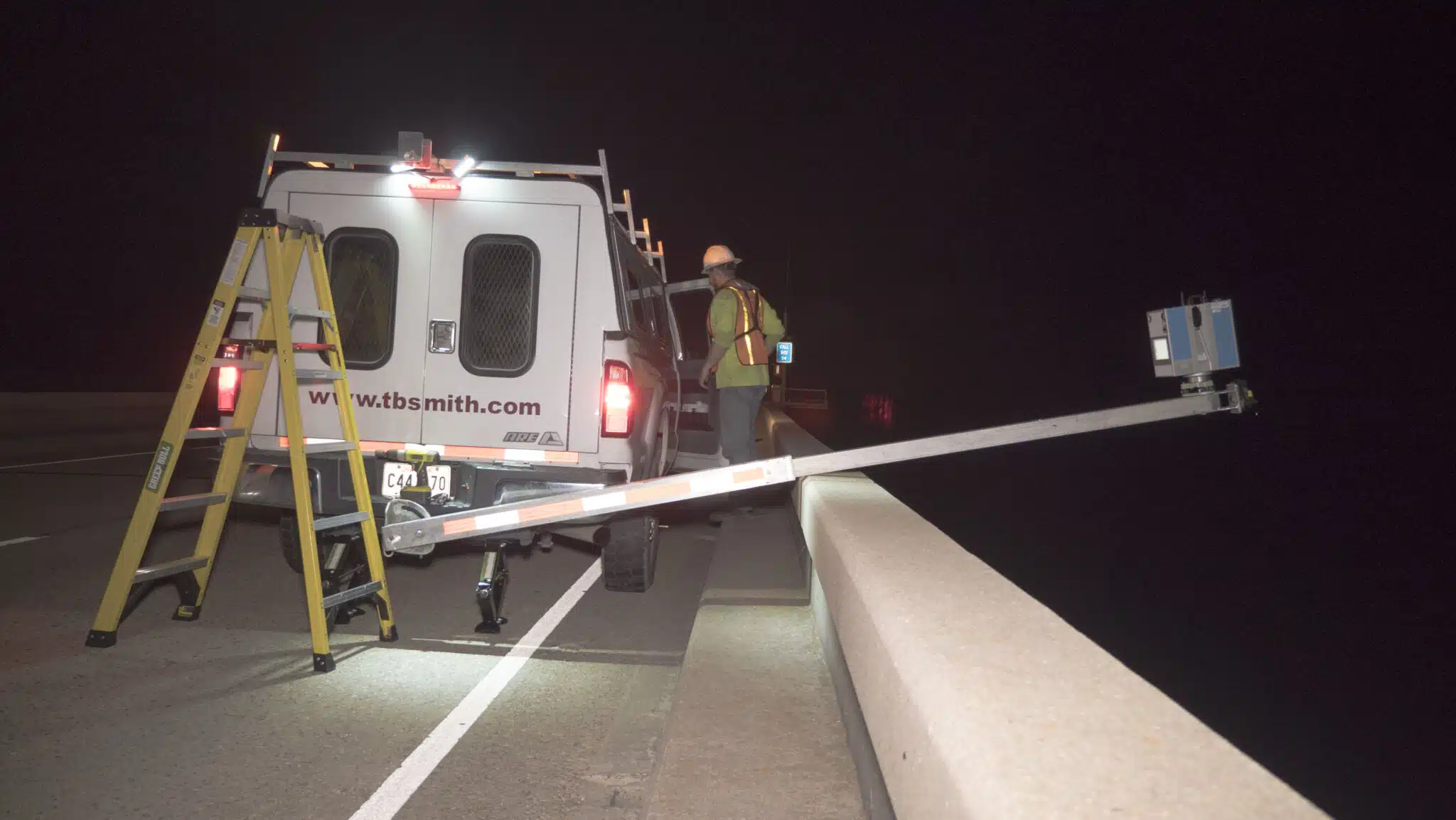
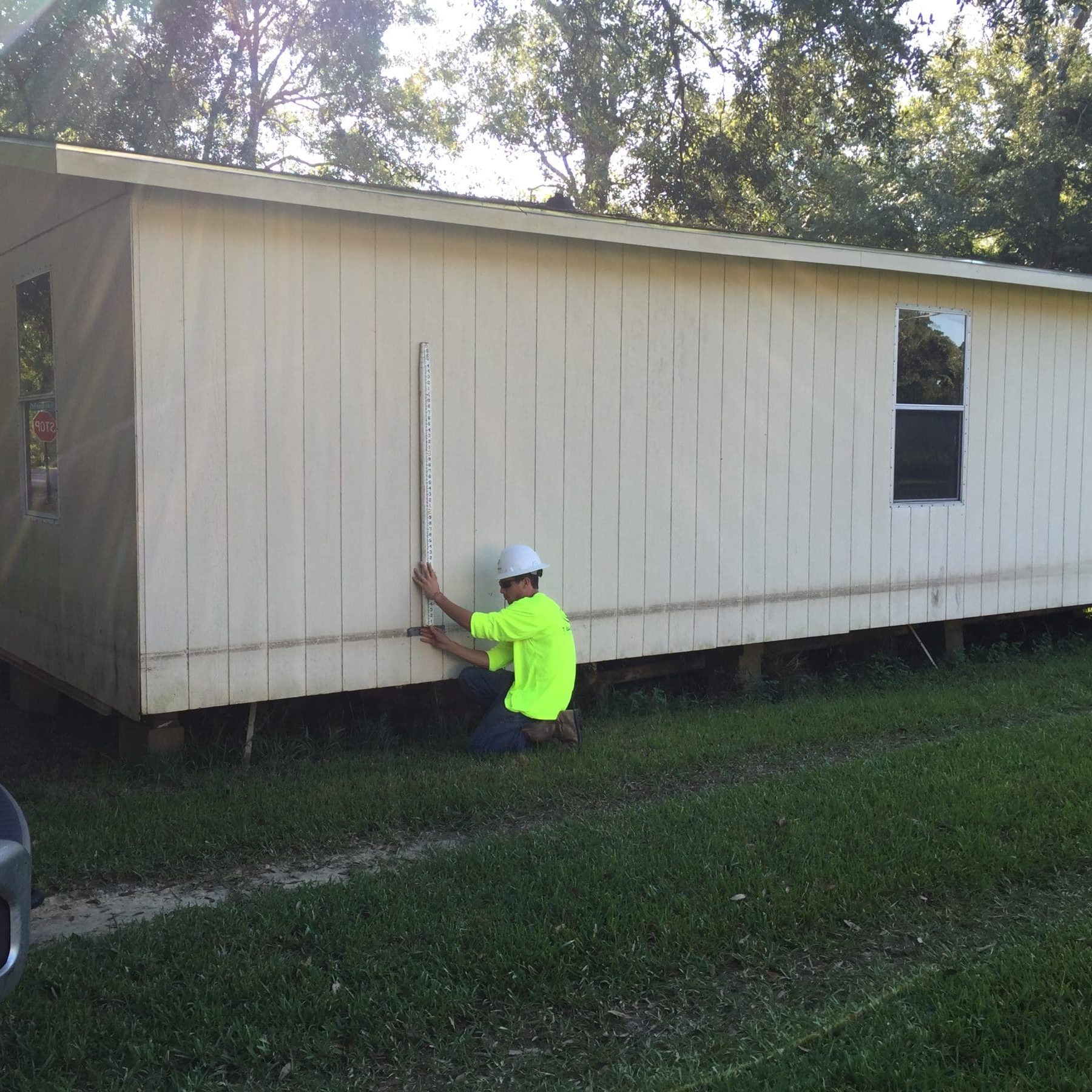
The foundation of our surveying and mapping practice is built around an appreciation of boundaries and the preservation of property rights. Since 1913, TBS has been surveying the land and waterways in and around our communities, bringing innovation, efficiency, and accuracy to every project.


Surveying Solutions
Surveying Solutions
Find the Solution for You
Project Spotlights
See all of our latest projects in our full project portfolio
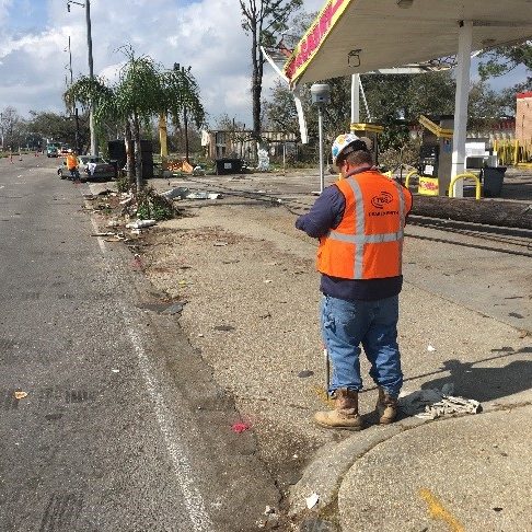
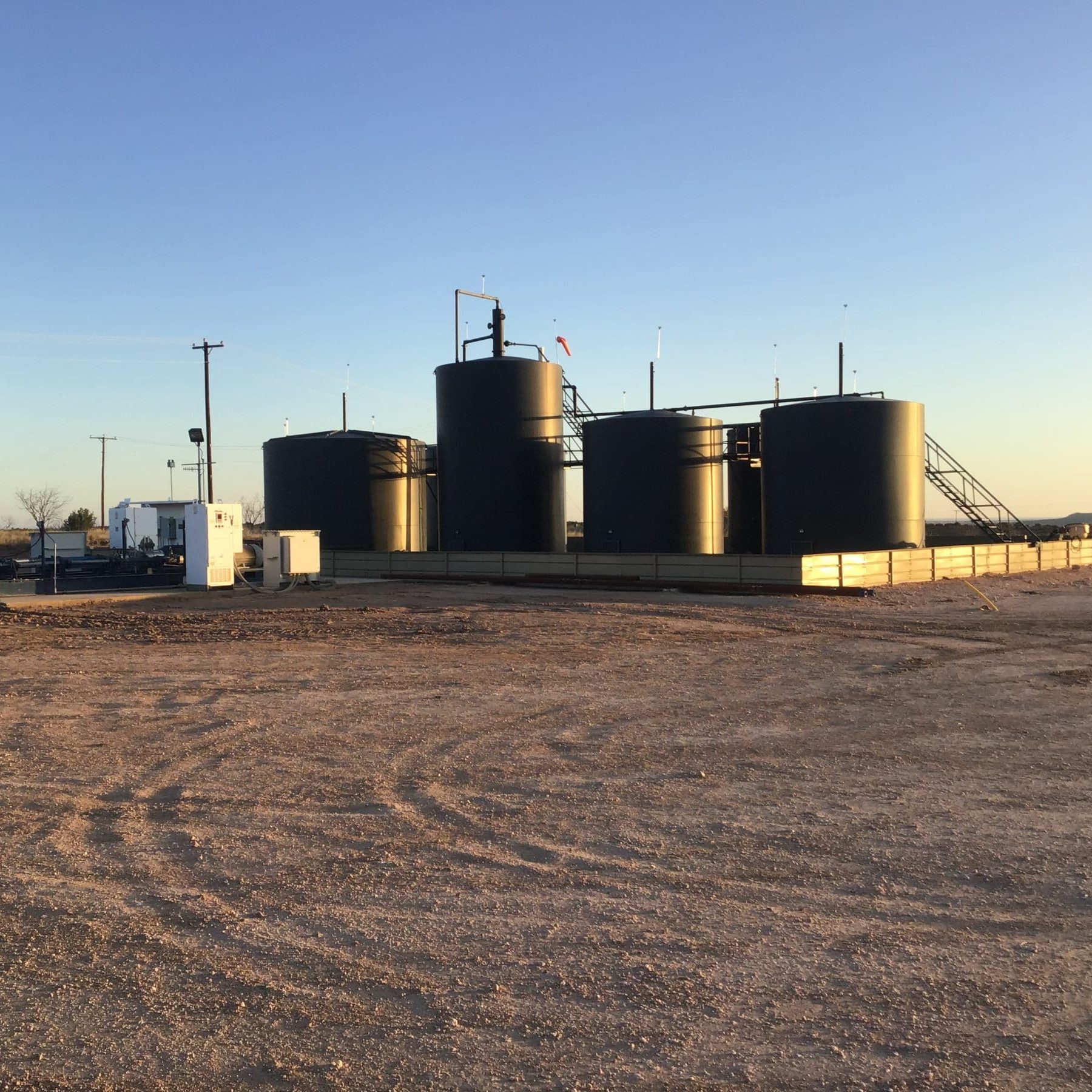
Due Diligence for SWD Facilities and Operational Sites across New Mexico, Oklahoma, and TexasJennifer Smith2022-11-21T16:30:25-06:00
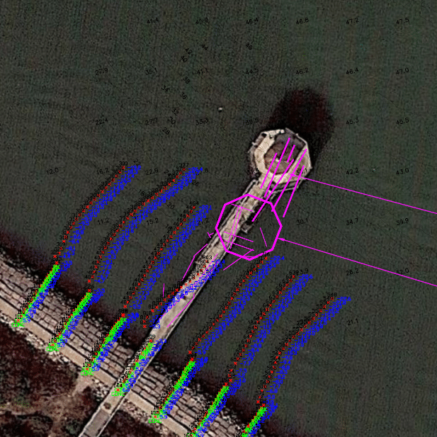
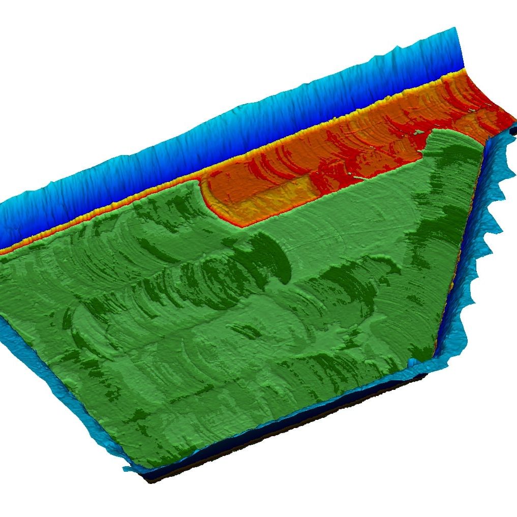
Harvey Rebuild Research Pier at the University of Texas Marine Science InstituteJennifer Smith2022-11-21T16:30:51-06:00