Boundary & Topographic Surveying
Boundary & Topographic Surveying
Utilizing the Latest and Most Efficient Methods
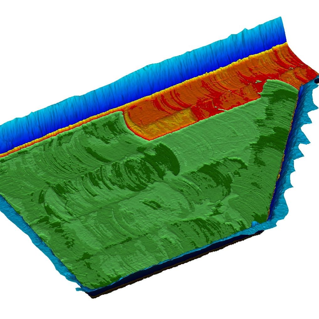
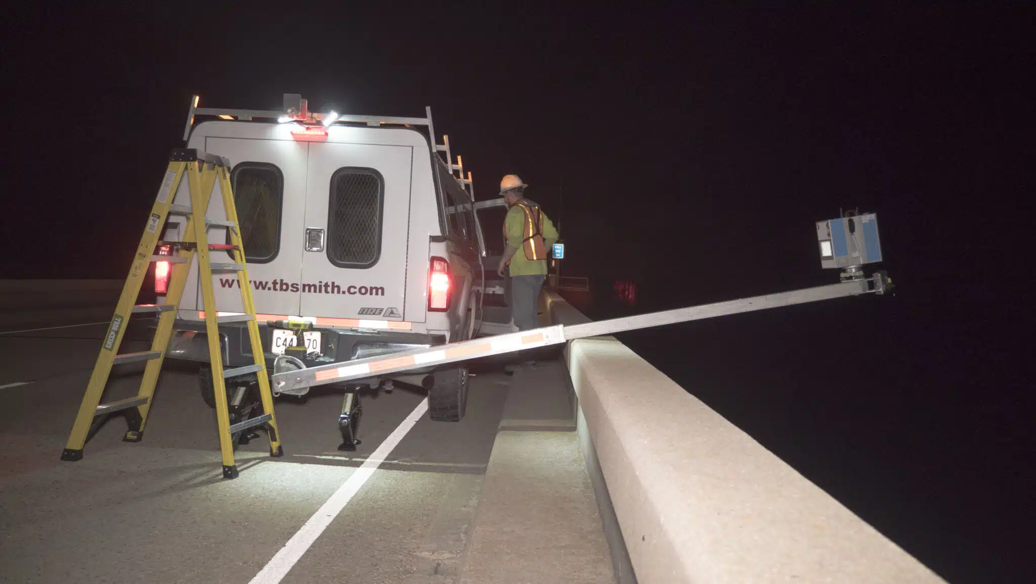
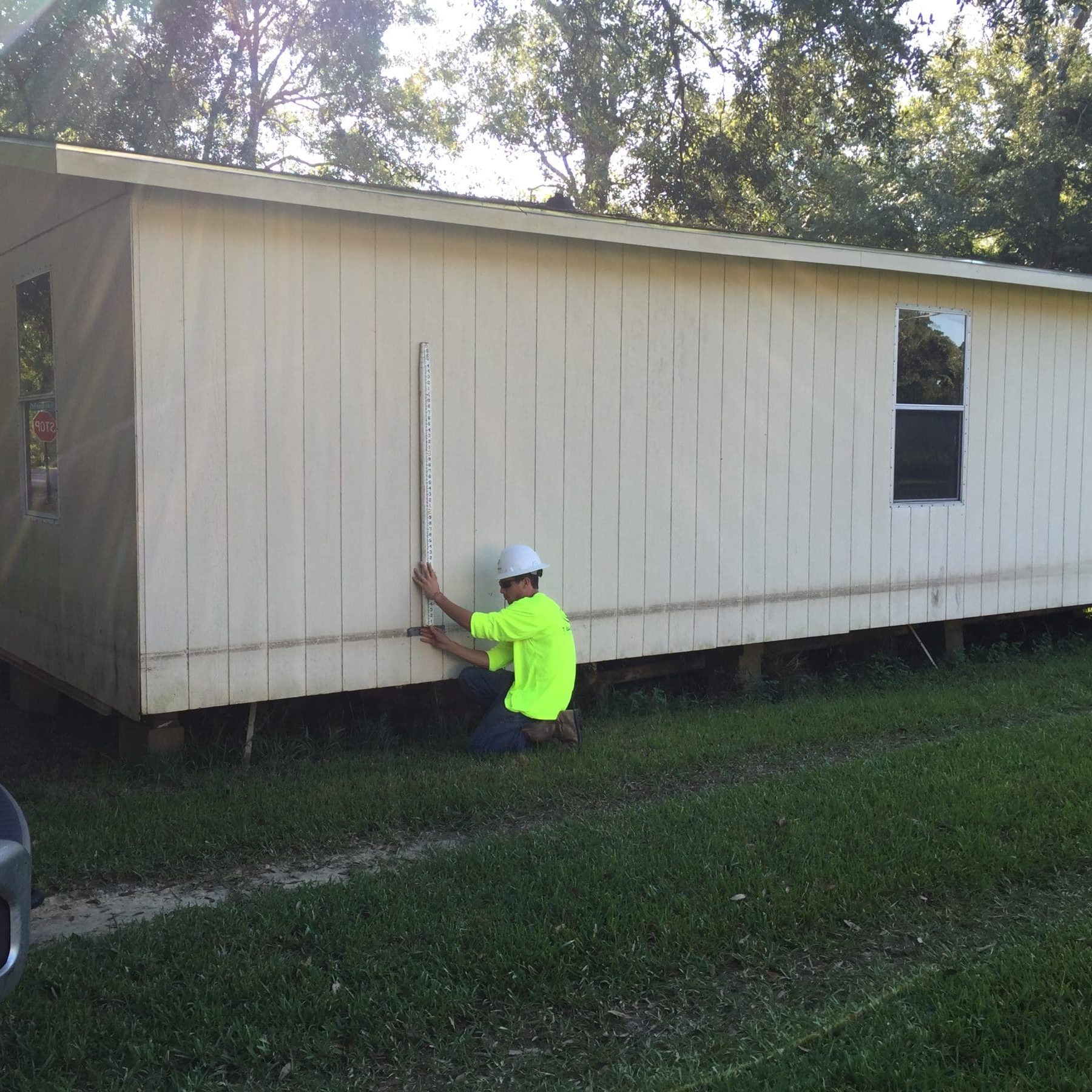
With over a century of archived data, boundary records, and historical maps of the Gulf Coast region, TBS is able to raise the bar by utilizing the latest and most efficient methods for collecting and staking data points for property and topographic surveys. These methods range from conventional instrumentation to fully automated land- and aerial-based systems.

Our Solutions
Surveying Solutions
Find the Solution for You
Project Spotlights
See all of our latest projects in our full project portfolio
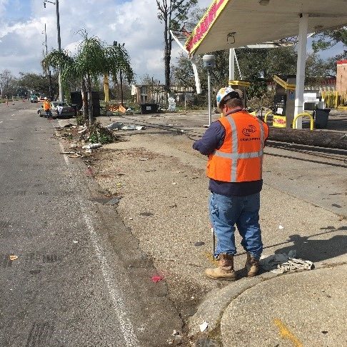
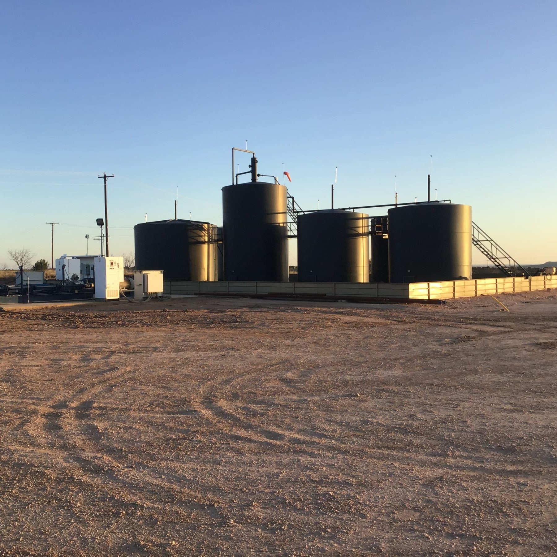
Due Diligence for SWD Facilities and Operational Sites across New Mexico, Oklahoma, and TexasJennifer Smith2022-11-21T16:30:25-06:00
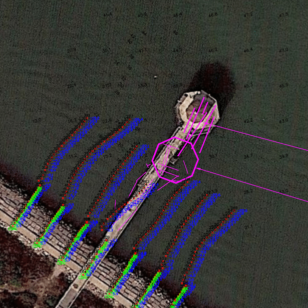
Harvey Rebuild Research Pier at the University of Texas Marine Science InstituteJennifer Smith2022-11-21T16:30:51-06:00