Hydrographic & Geophysical Surveying
Hydrographic & Geophysical Surveying
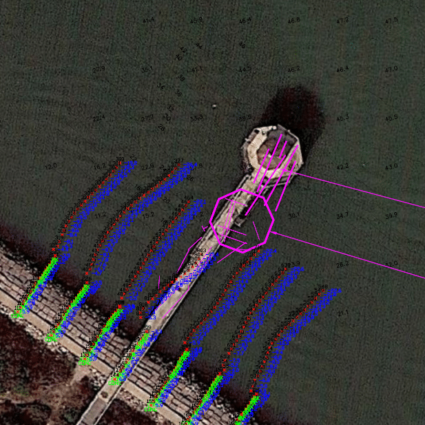
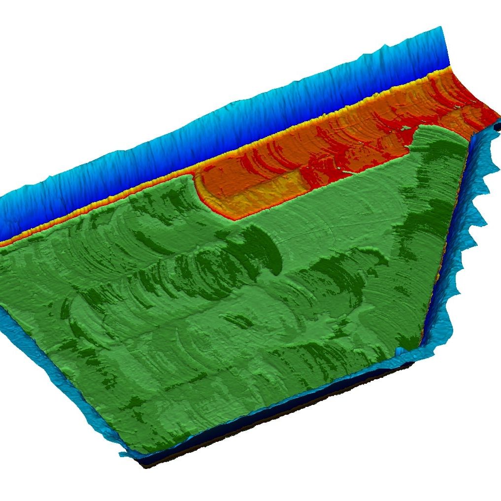
Seeing the Unknown
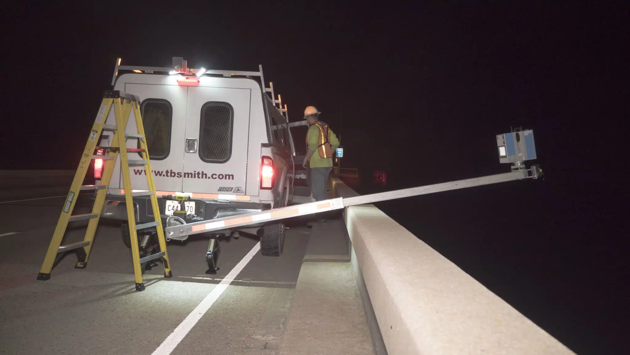
At TBS, our hydrographic surveyors have the capability to inspect seafloor conditions, investigate underwater obstructions, and serve as an underwater set of eyes for search, rescue, and recovery operations. Using gathered data, our professionals create detailed models of rivers, lakes, bays, and the ocean seafloor. Regardless of vessel type or project site, our professionals are capable of producing detailed maps, digital imagery, and video graphics from field and office locations.

Our Solutions
With the use of our ever-growing fleet of state-of-the-art multi-beam equipment, we are able to collect more data in a shorter period of time, lessening the burden on our clients by providing quality data in efficient time.
Surveying Solutions
Find the Solution for You
Project Spotlights
See all of our latest projects in our full project portfolio
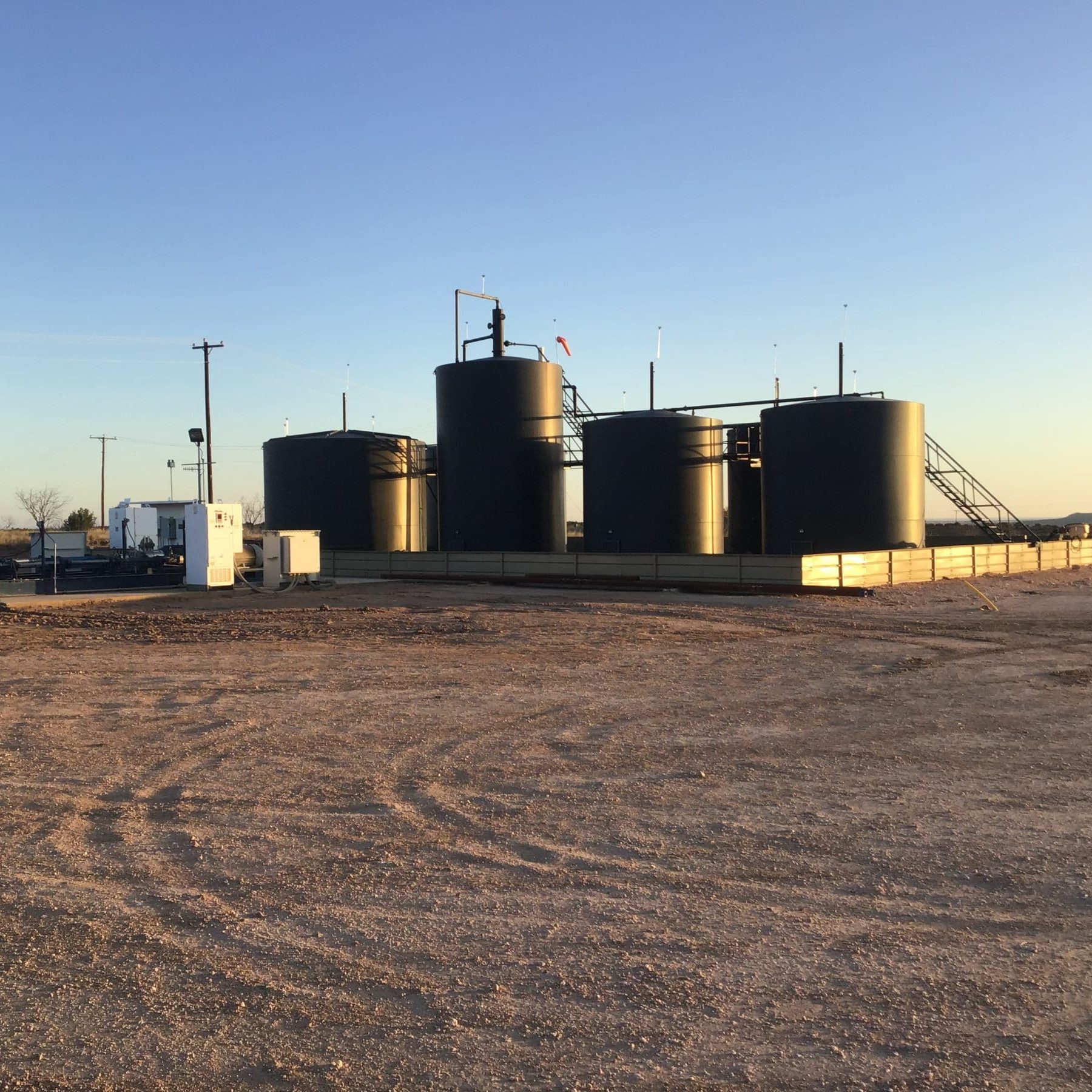
Due Diligence for SWD Facilities and Operational Sites across New Mexico, Oklahoma, and TexasJennifer Smith2022-11-21T16:30:25-06:00
Harvey Rebuild Research Pier at the University of Texas Marine Science InstituteJennifer Smith2022-11-21T16:30:51-06:00