Industrial Measurements
Industrial Measurement Services
Using the Most Advanced & Efficient Methods
Since 1913, T. Baker Smith has been the region’s go-to source for surveying land and waterways in and around our communities, bringing innovation, efficiency and accuracy to every project. We accomplish this using highly accurate total stations and industrial measurement software to ensure your projects run smoothly from start to finish.

Our industrial measurement services include laser scanning and dimensional control surveying. Let’s take a closer look at these services and what you can expect from them.
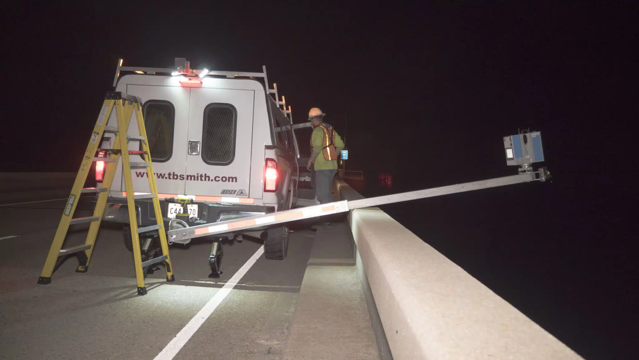
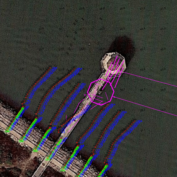
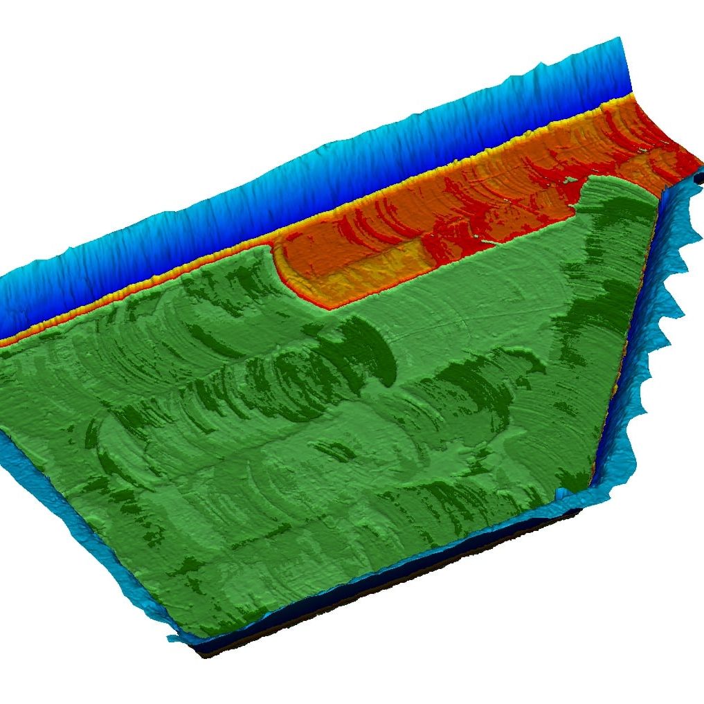
Laser scanning is extremely popular among surveyors today due to its ability to rapidly and accurately collect large amounts of data using high-tech laser measurements. When performed well, this process mitigates a variety of safety issues that often exist with other types of surveying and measurements, and also creates significant cuts to expected project costs. The data collected from laser scanning surveys can then be used to create accurate three-dimensional point cloud representations of the area being surveyed.
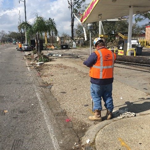
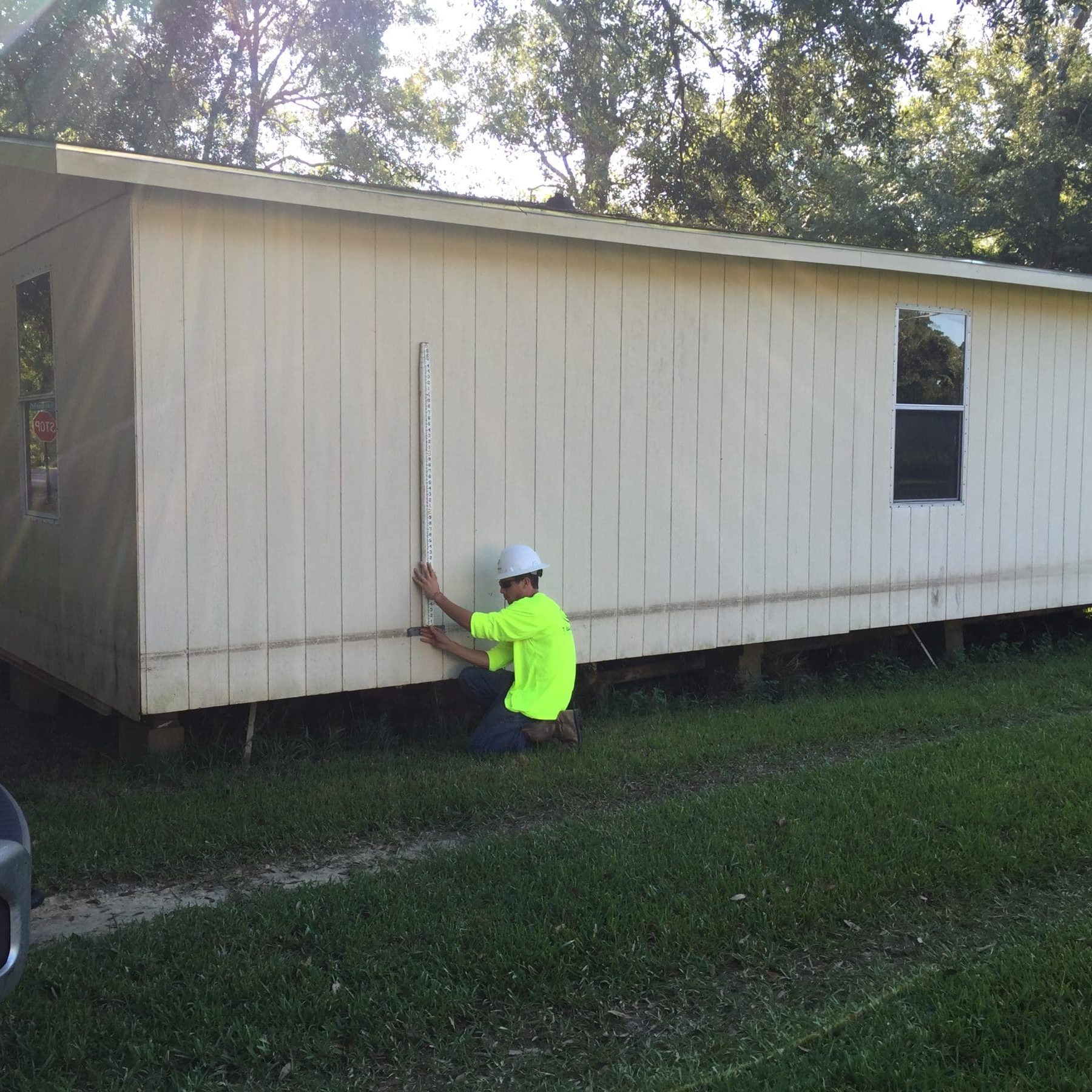
Dimensional control surveying provides land surveyors with real-time, three-dimensional results while out in the field. The technology has extremely accurate total stations and software to ensure all dimensions and tolerances are to the appropriate standards.
Surveying Solutions
Find the Solution for You
Project Spotlights
See all of our latest projects in our full project portfolio
Frequently Asked Questions
Many other types of surveying that rely on tape measures or other types of manual devices can be subject to errors. Laser scanning equipment is designed to be extraordinarily accurate, down to millimeters. It captures up to a million data points per second to provide an outstanding level of detail and accuracy in its surveys.
3D laser scanning surveys have become more popular in recent years as the technology has continued to evolve and improve. This process involves shining a reflector-less laser over a surface to collect 3D data, which is captured by a sensor that gets mounted in the laser scanner. The survey points collected all combine to form a point cloud capable of accurately representing the surveyed surface.
Laser scanning can produce some very high-quality 3D results. We’re capable of surveying some areas and structures that are quite large and detailed while still providing you with on-the-spot high-definition data. This is extremely beneficial for surveying large projects and analyzing designs to ensure proper execution.
Laser scanning is fast, simple and safe, which means there is little to no shutdown time required for clients. In most cases you’ll be able to keep working while we perform our surveys, with very little inconvenience to you.