Laser Scanning Survey
Laser Scanning
Most Advanced and Efficient Method for Collecting Survey Measurement
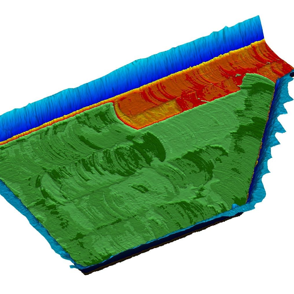
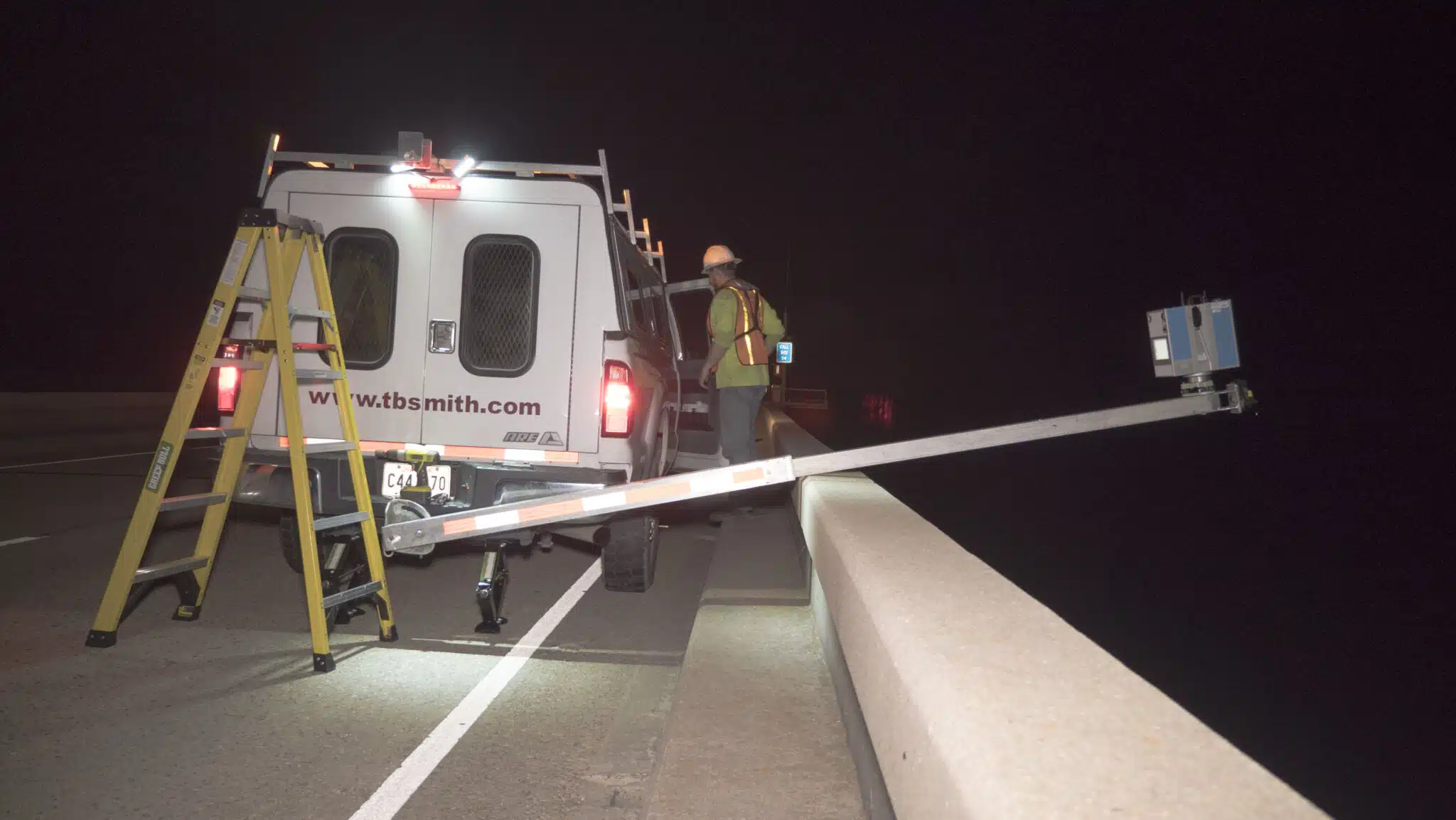
TBS offers the most advanced and efficient method for collecting survey measurement using 3D laser scanning. Laser scanning is a powerful data collection technology that utilizes advanced laser measurement technology, combined with traditional survey techniques, to collect large amounts of data quickly and accurately, which helps mitigate safety issues and lower project costs drastically. TBS professionals use this data to produce an exact three-dimensional point cloud representation of the survey area.

Our Solutions
Surveying Solutions
Find the Solution for You
Project Spotlights
See all of our latest projects in our full project portfolio
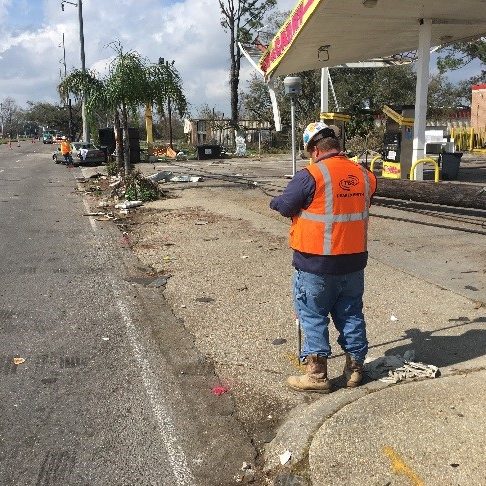
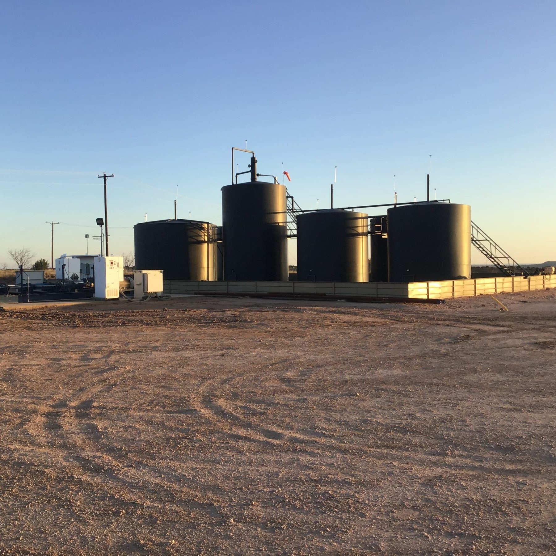
Due Diligence for SWD Facilities and Operational Sites across New Mexico, Oklahoma, and TexasJennifer Smith2022-11-21T16:30:25-06:00
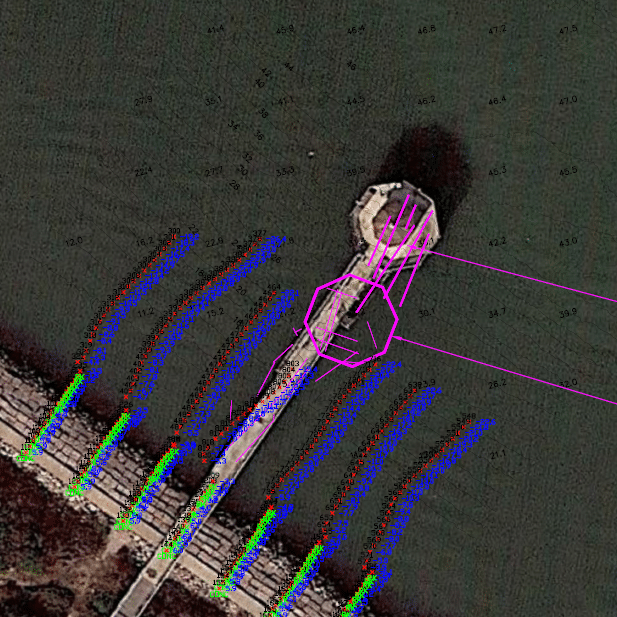
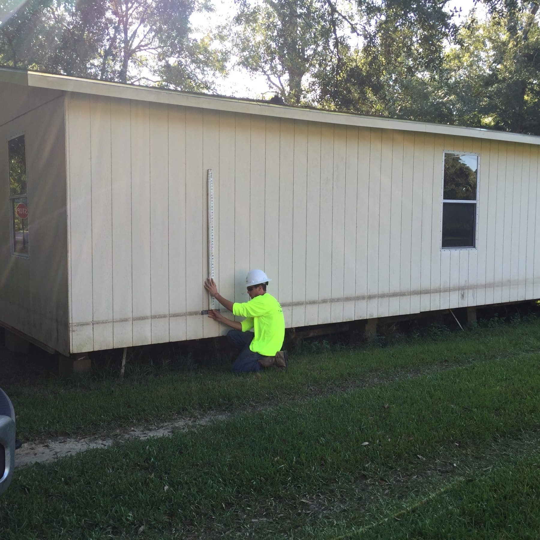
Harvey Rebuild Research Pier at the University of Texas Marine Science InstituteJennifer Smith2022-11-21T16:30:51-06:00