Marine Positioning Survey
Marine Positioning
Extensive GIS and AutoCAD Databases at Your Disposal
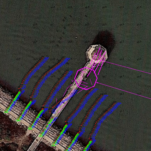
Marine positioning applications are challenging; the ability to position a rig, install a pipeline, or perform cable installation can be compromised by everything from water depth to working in adverse weather conditions. TBS brings to our marine positioning services an extensive GIS and AutoCAD database of onshore, shelf, and offshore wells, pipeline and platform data, and hazard locations.
Our Solutions
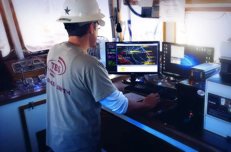
Since 2005, we have been involved in post-hurricane abandonment and recovery projects utilizing acoustics and sonar to safely position divers, ROVs, cranes, and subsea tools to provide planning, design, construction management, and operations compliance support to meet our clients’ needs.
- Underwater Acoustic Positioning
- ROV & Dive Support
- DP Vessel Positioning
- Pipeline and Cable Lay Supports
- Position Pipeline Tow Outs
- Structure Positioning
- Sonar Surveys
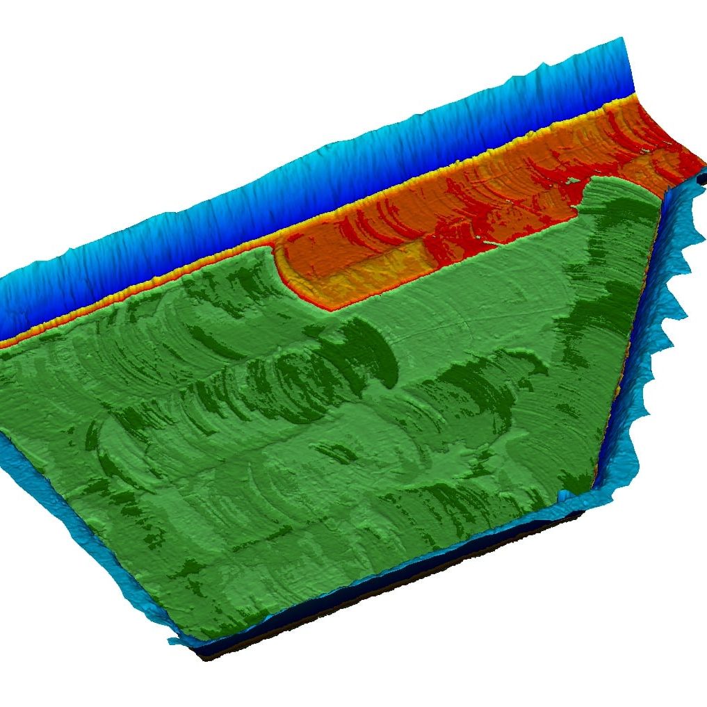
- Multi-beam Surveys
- Gyrocompass Calibration Surveys
- DGPS Healthcheck Surveys
- Surveys using RTK GPS
Surveying Solutions
Find the Solution for You
Boundary & Topographic Surveying
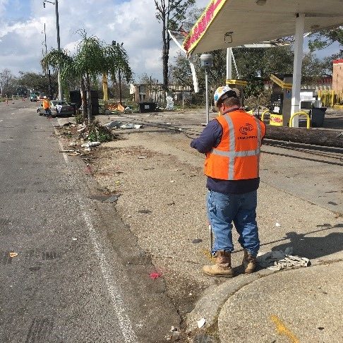
We use the most up-to-date, efficient methods for collecting and staking data points for property and topographic surveys.
Asset Integrity & Waterway Inspection
Our team stays on top of all of the current regulations regarding asset integrity and manageable waterway crossing requirements, allowing us to create fully customized solutions for our clients.
Hydrographic & Geophysical Surveying
Our hydrographic surveying team inspects conditions on the seafloor and investigates any existing obstructions underwater, and is also capable of keeping an eye out for better search, rescue and recovery operations.
Unmanned Aerial Systems (UAS)
This is a relatively new and rapidly evolving technology and surveying process, which involves the use of unmanned drones for safely and rapidly collecting large amounts of information.
Marine Positioning
Our marine positioning services feature an extensive GIS and AutoCAD database of onshore, shelf and offshore wells, pipeline and platform data and hazard locations.
Laser Scanning
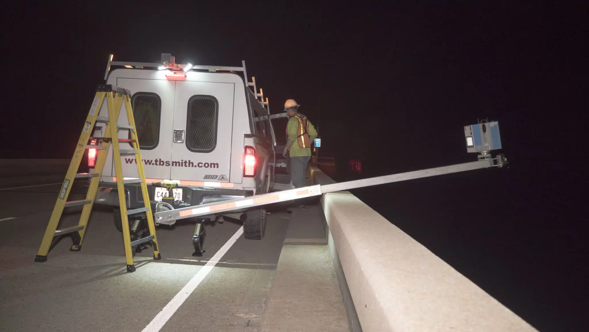
Our 3D laser scanning services are the most advanced, efficient method of collecting survey measurements for a wide range of projects.
Dimensional Control Survey
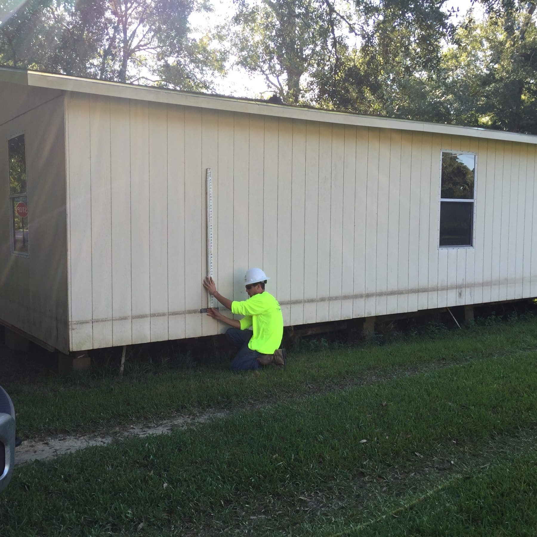
Dimensional control surveying allows our team to provide our clients with real-time, three-dimensional surveying results out in the field. It’s instant surveying information you would not get with many other types of surveying applications.