iBlueHarbor
iBlueHarbor
The Ultimate Solution For Real-Time Dock Management
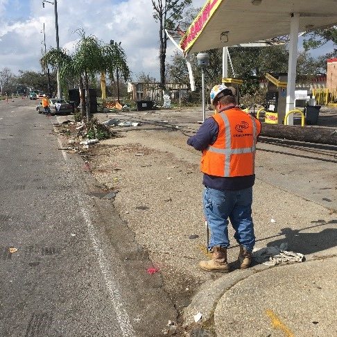
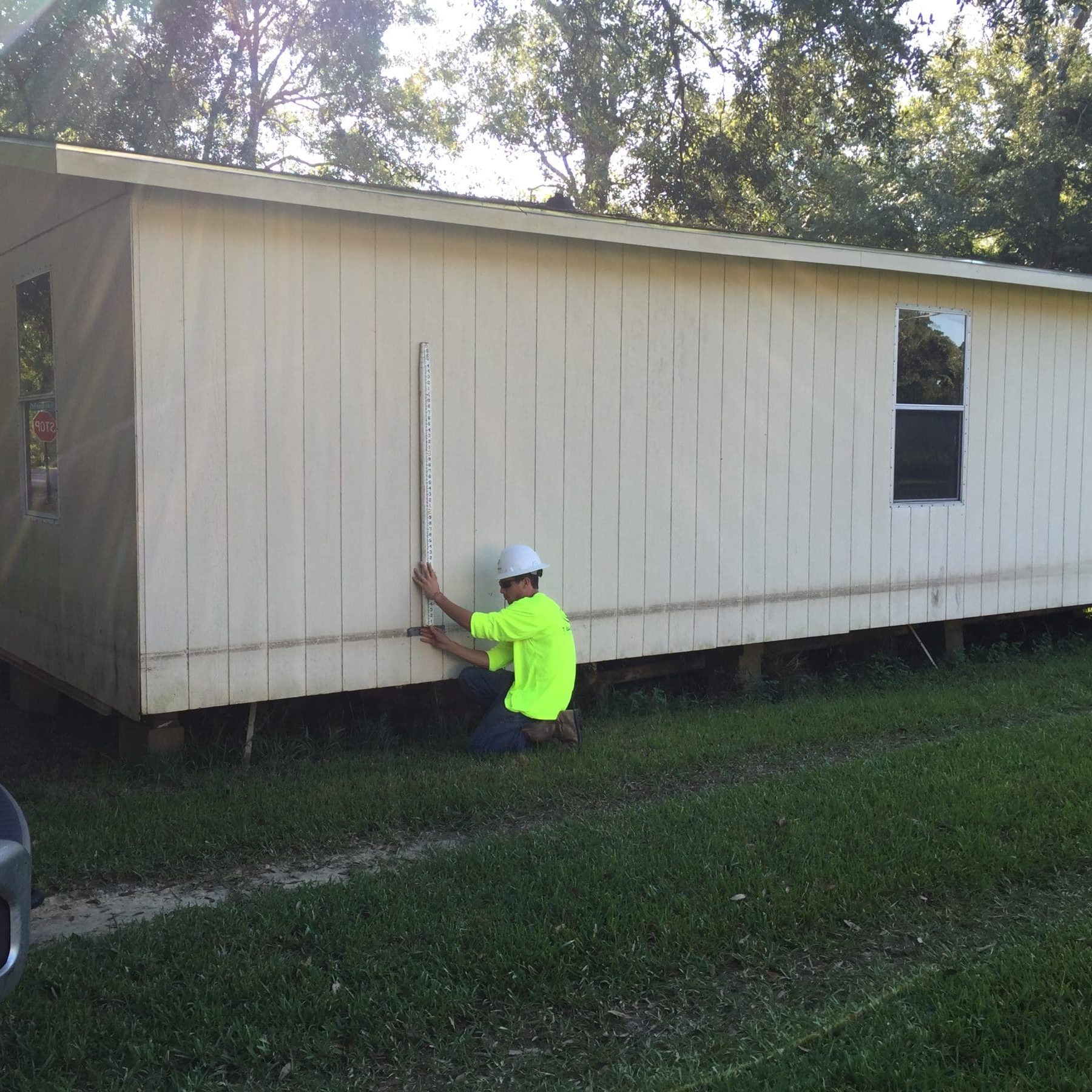
T. Baker Smith (TBS) combines professional surveying services and innovation to provide port decision-makers with a system to assess and communicate port operational conditions. iBlueHarbor leverages your collected survey data to help you efficiently manage critical day-to-day tasks and decision making. iBlueHarbor is patent-pending and is available to clients who contract TBS for monitoring surveys or as a software subscription.


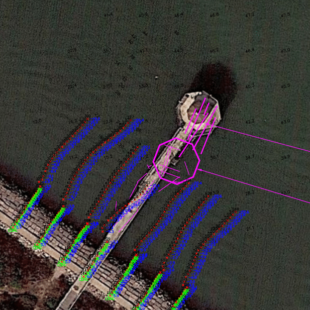
GIS User Dashboard
The primary function of the dashboard is to provide consistent communication on operational issues. Areas of interest are normally defined as a dock slip or ship berth. Other areas of interest include a section of channel, turning basins, areas surrounding docks, landing areas, and channels that may be accessed by support vessels.
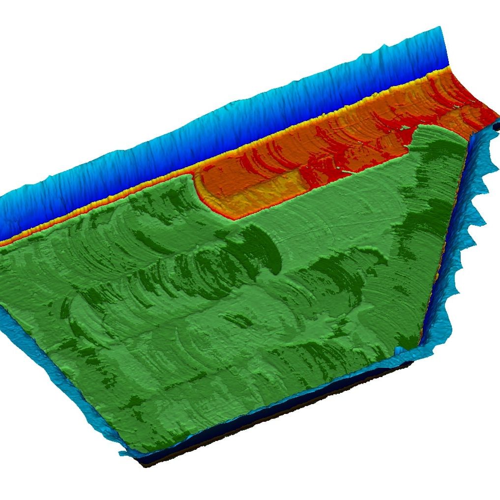
Shoal/Scour Rates
Difference data, the difference between the current and an earlier survey, is calculated or imported into the system and displayed as a difference heat map. Shoaling and scouring are normally shown as a rate in feet per year. The shoaling rate can be used to plan for future minimum depth at the dock and maintenance dredging.


Vessel Clearance Calculator
The Vessel Clearance Calculator calculates and highlights under keel clearance for a vessel. Under keel clearance is shown relative to the survey depth (MLLW) or using current and predicted water levels. Vessels are represented by a closed polygon and can be rotated and moved around the area. New vessels can be added quickly to assess position and draft issues.
Volume Calculator
The Volume Calculator calculates volume to design dredge depth, advanced maintenance depth, and allowable overdepth. The volume is calculated in a specified area, usually the dredge area or channel section. The cut areas for the different design depths are shown.