Dimensional Control Surveying
Dimensional Control Surveying
Real-time 3D Results
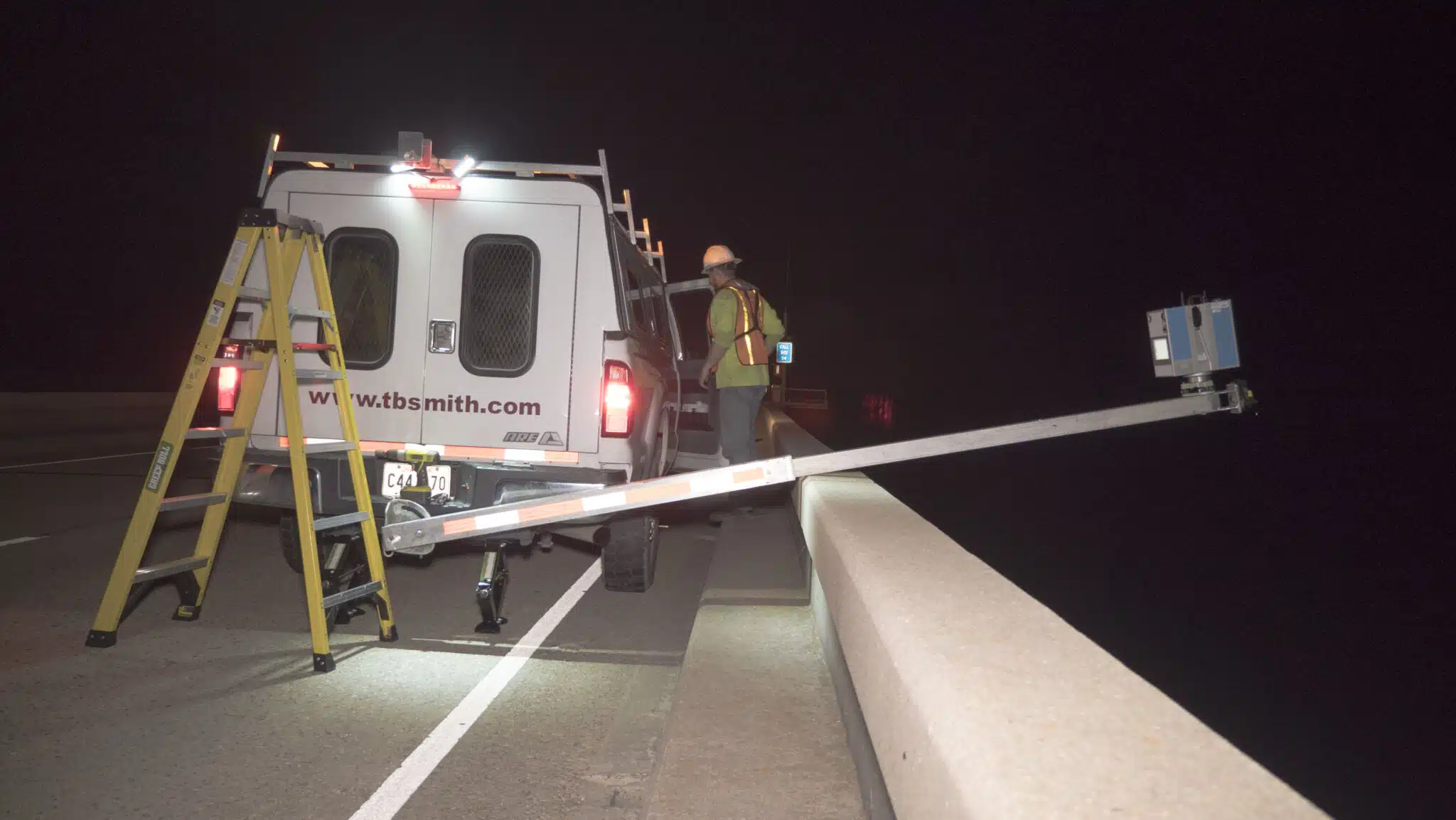
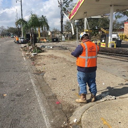
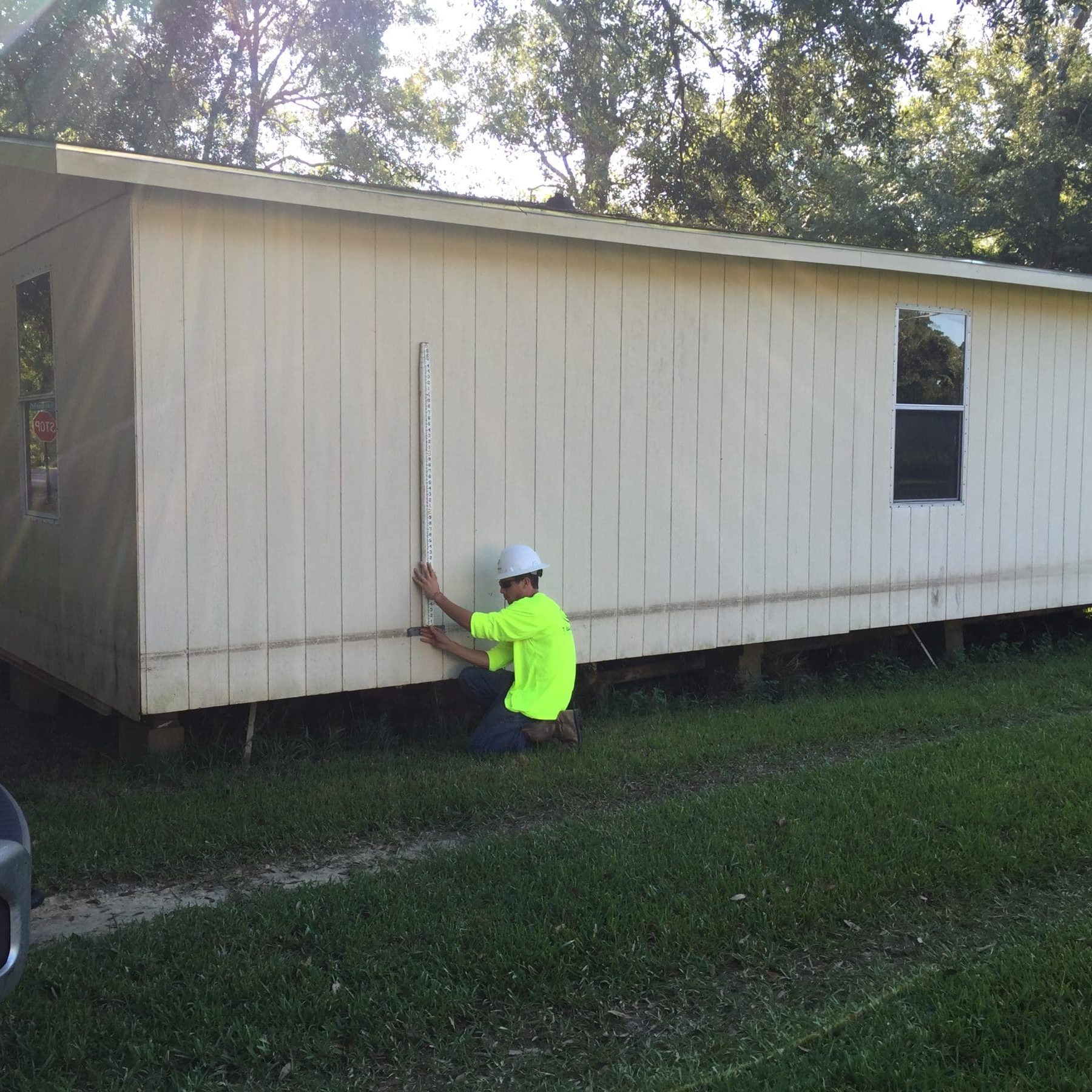
With dimensional control surveying, TBS is able to provide clients with “real-time” 3D results in the field. Utilizing highly accurate total stations and industrial measurement software, our dimensional control surveyors have the experience and expertise to ensure your projects will fit the first time by comparing design dimensions to industry standards and tolerances to verify conformity.

Our Solutions
Surveying Solutions
Find the Solution for You
Project Spotlights
See all of our latest projects in our full project portfolio
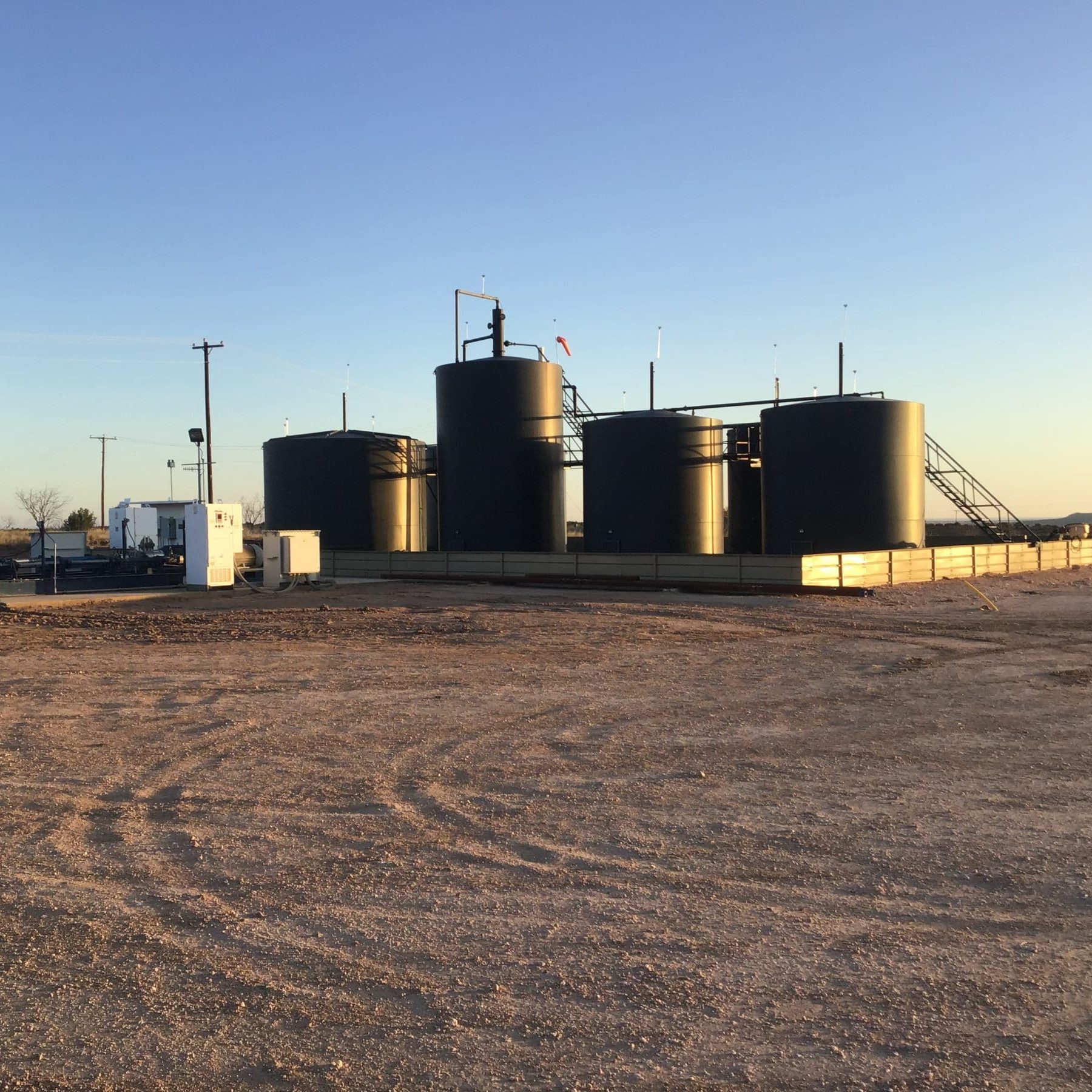
Due Diligence for SWD Facilities and Operational Sites across New Mexico, Oklahoma, and TexasJennifer Smith2022-11-21T16:30:25-06:00
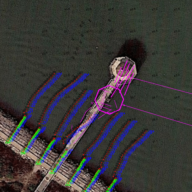
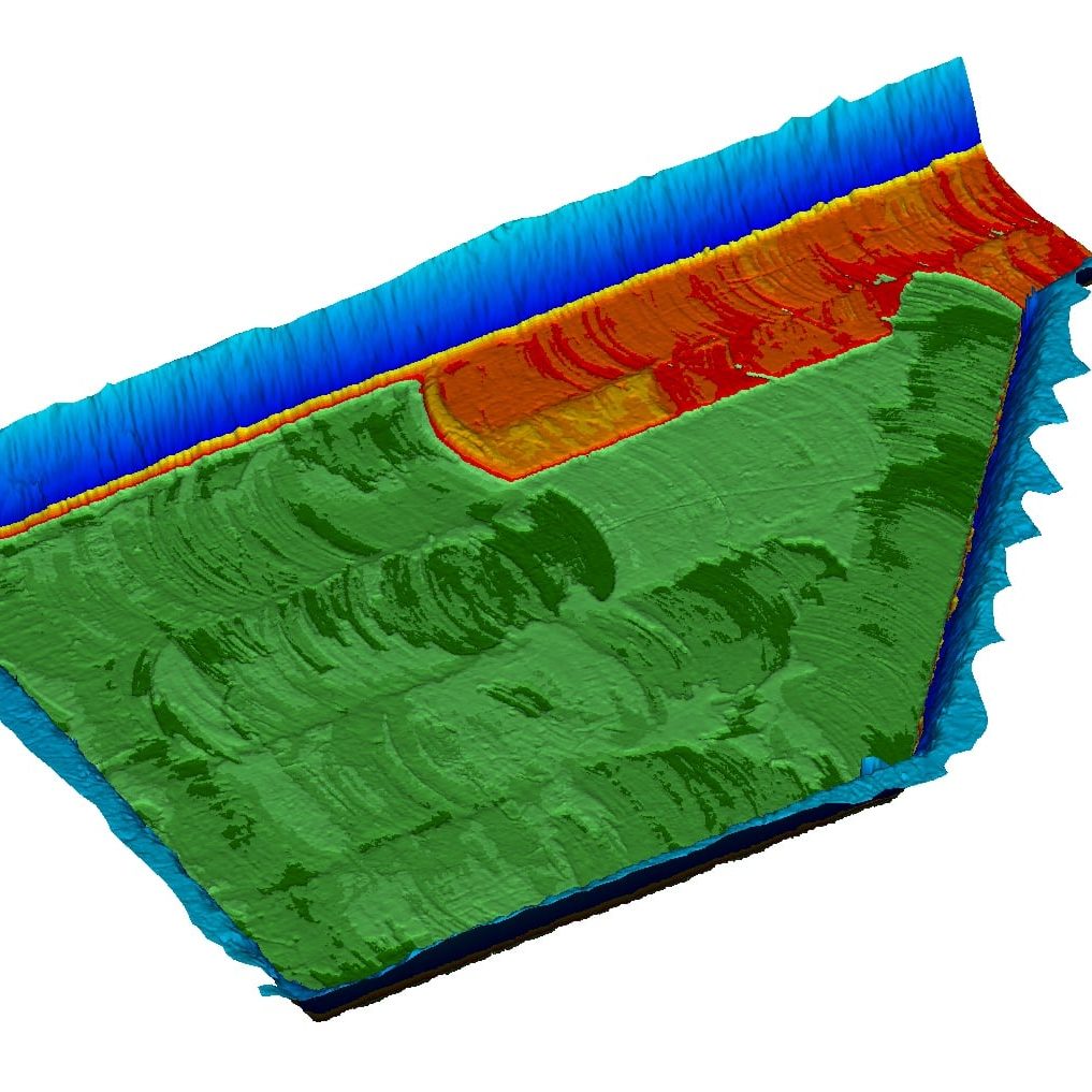
Harvey Rebuild Research Pier at the University of Texas Marine Science InstituteJennifer Smith2022-11-21T16:30:51-06:00