High Water Mark Survey
Public Works – Local
The Challenge
To Be Met
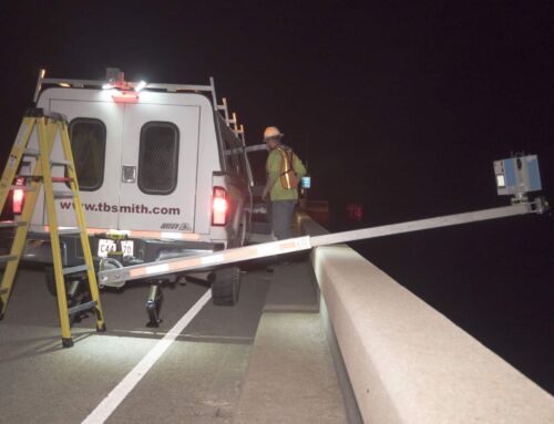
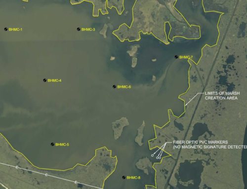
A major flood event in August of 2021 prompted Amite River Basin Commission to hire TBS to survey 45 high water marks in the region.

The Solution
Our Creative Approach
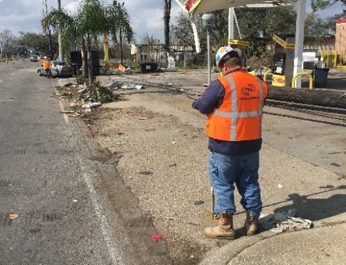
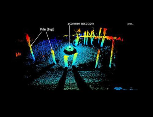
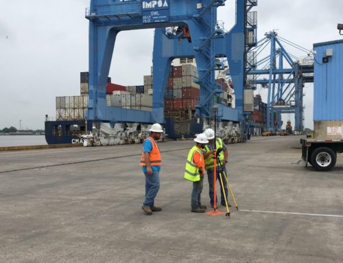
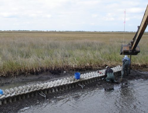
TBS survey crews took marks from inside buildings when accessible and other reliable features in Ascension Parish, LA. Four of the high water marks were only accessible by boat because they were along Blind River. The crews were given latitude and longitude locations of each high water mark that was to be collected. At each location, a temporary benchmark was established using RTK GPS survey equipment with C4Gnet to minimize the time required to set up and take down the base station. A similar approach with the level, TBM, and RTK GPS unit was used to shoot the elevations of water marks outside of structures. It has been our experience that power poles are very good marks to use when setting temporary bench marks, but they are not always near the site, so pk nails were most commonly used. NAVD 88 was used for the elevation datum corrected to Geoid 12A and NAD83 will be used for the horizontal datum. Pictures were taken of each temporary bench mark set for each high water mark along with pictures of the marked high water features. Amite River Basin provided the specific form to be filled out that allowed us to attach the photos of both temporary benchmarks and high water mark locations taken. TBS filled out the form specifically provided along with pictures, field notes, and pnezd file in a text format, as well as an AutoCAD drawing with points stored for location.